The l’Hydroptere Standby
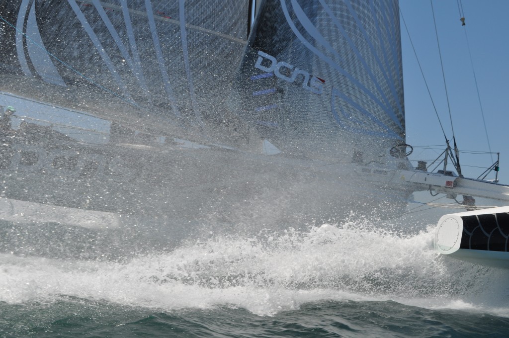
 l’Hydroptere in close-up. Photo by Kimball Livingston
They missed an opportunity in early July, but they weren’t ready in early to July to take off on a Los Angeles-Honolulu record. Today Alain Thébault and crew are looking at a weather pattern over the Pacific that doesn’t convince them to push the Launch button, but they’re still hopeful. What’s below was released today by the teams communications manager, Thomas Lesage:
l’Hydroptère DCNS in weather-watch mode: interview with Jacques Vincent
What is the main weather parameter that will trigger the start procedure?
“We’re targeting a phase when the North Pacific High is in the perfect position so we’re keeping an eye on how this zone is evolving. Ideally, the zone of high pressure has to be further North and slightly across to the East or West if possible. That would enable us to be as close to the direct course to Honolulu as possible and provide us with some good gybing angles for approaching the islands.
“From such scenarios, we’d prefer for the zone of high pressure to be set slightly over to the West. That would ensure we have lighter winds along the Californian coast and hence a more moderate sea state along the first quarter of the crossing.”
What kind of weather pattern are you expecting for the crossing attempt?
“On the big day we’ll leave port at around lunchtime. The wind will be light, but we know that a thermal breeze is likely to pick up at around 1400 hours. If things pan out as they should, this will be sufficiently strong to get us away from the coast and efficiently negotiate Catalina Island, which will be our first obstacle.
“Offshore of Catalina, we’ll hook onto a north-westerly air flow, along the eastern limit of the North Pacific High. The further away from California we get, the more the north-westerly winds will veer, switching round to the North and then the North-East.
“Midway along the course, the wind will ease a little as it clocks round to the East, which will call for us to put in a tack that will set us slightly higher and to the North of the direct course. Three-quarters of the way along, we’ll need to plan for a gybe, which will distance us from the centre of the anticyclone and its associated overly light winds, at which point we’ll set a course to the South-West and the islands. During this section of the course, the wind will continue to veer, enabling us to make for our destination on a direct course.
“As we approach Hawaii, the wind will funnel between the islands and the resulting increase in wind strength will cause the seas to build. That will doubtless be the trickiest element of the crossing, with the famous “Molokaʻi Channel”, at the end of which lies the finish line.”
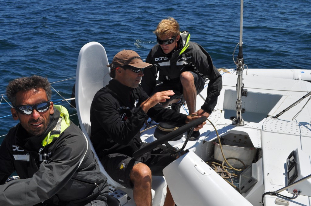
 Vincent, at the helm, confers with team techie Jeff Mearing. Photo by KL
Do you have a general idea of the speeds over each of these portions of the course?
“Between the start and Catalina Island, we’ll be sailing upwind at around 18 knots I think and we may have to put in a tack to get around it. After Catalina, we should be able to make headway at an average of 25 knots. Some 150 miles from Los Angeles, we’ll more likely be making about 30 – 35 knots. To finish off, as the wind veers, we’ll switch to a downwind point of sail, which should see us making 25-30 knots of boat speed again.”
How would you weigh up the impact of the choice of weather window on the chances of success in your record attempt?
“It’s crucial! It’s the weather which enables you to exploit the boat’s potential.”
What kind of plan does the team have in place for surveying the weather and how are you organizing yourselves?
“Among the crew, Yves Parlier and I are on permanent weather watch. Alain, Jean and Luc are also running the routing software and passing on their comments to us at regular intervals.
“For the time being, during the stand-by period, the weather watch has focused largely on some fairly in-depth calculation models. We’re constantly running the routing and the minute the results begin to resemble the record reference time, we study the departure possibilities in greater detail.
“During the stand-by phase, we’re being supported by Christian Dumard, (Great Circle/TVSailing News), a professional router. Over the record period, he’ll also be keeping a watch, directly linked to l’Hydroptère DCNS. From a more technical viewpoint, with regards to the computing element, we’re running the boat’s polars* on the American (GFS) and European (CEP) models. For the start zone we’re using the COAMPS files provided by Saildoc. When the 2 models converge on the same departure period there’s a strong chance that it will be a good weather window. ”
*polars: theoretical speeds of a yacht according to a given angle and wind strength.
Why have you chosen this timeframe to come to California?
“The ideal timeframe begins in mid-June, continues through July and closes up again over the course of August/ early September. In summer, the anticyclone climbs North and the depressions become increasingly rare. These weather conditions enable you to take a more direct route towards Hawaii, without being disturbed by a northerly swell. A second favourable factor is the thermal breeze, which is highly active during this period.”
What have been the weather windows so far?
“We witnessed some very good weather windows over the first few days of July and since then there hasn’t been anything solid. It’s all down to the vagaries of the weather.”
And the upcoming weather windows?
“We haven’t lost hope. With a bit of luck, a weather window may present itself between now and the end of August. On our files, we can view the situation over a ten-day period. In any case, for now we’re fully focused on the routing and l’Hydroptère DCNS is ready for take-off.”
*******************************************************
Jacques Vincent has been Alain Thébault’s co-skipper on l’Hydroptère since 2002. He boasts 29 transatlantic crossings and 8 round the worlds, including two Jules Verne Trophies, two Volvo Ocean Races and The Race
.
